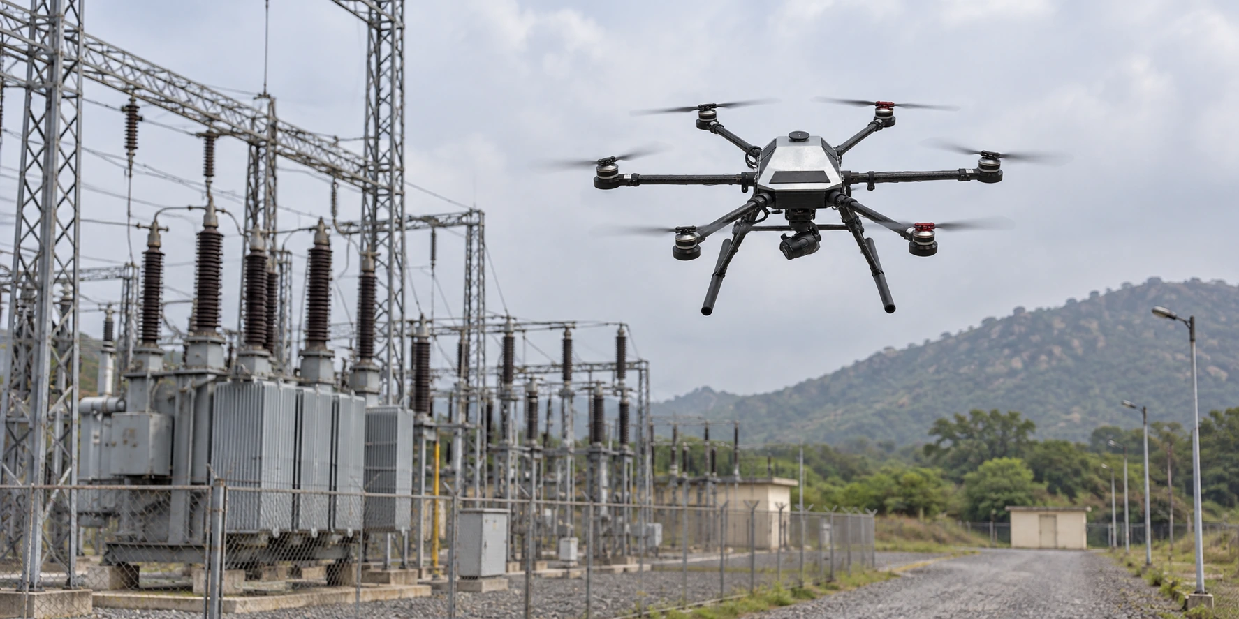
Terrain and site context
Build a useful view of land, worksites and infrastructure to support planning, measurement and communication.

Survey & Mapping
Plan aerial data collection around terrain, infrastructure and the spatial output your team needs. A clear brief helps align the capture plan, aircraft and processing workflow.
Discuss a survey or mapping project
THE OPERATING NEED
Survey and mapping missions depend on the area, terrain, required detail and intended deliverable. Those decisions shape flight planning, image overlap, control requirements and the way the captured information is processed.
KapYah can help frame the mission around the requested map, model or visual record, with the aircraft and payload selected for the site, operating conditions and agreed accuracy.
AREAS OF FOCUS
Build a useful view of land, worksites and infrastructure to support planning, measurement and communication.
Set the area, coverage, flight conditions and information requirements before the aircraft is deployed.
Agree the expected output and the records needed to move captured imagery into the appropriate review workflow.
THE APPROACH
Describe the map, model, measurements or visual record the project team needs to receive.
Review site boundaries, terrain, access, control points and capture conditions for the selected method.
Check coverage and organisation against the agreed output before the information is handed into the next workflow.
RELEVANT PLATFORMS
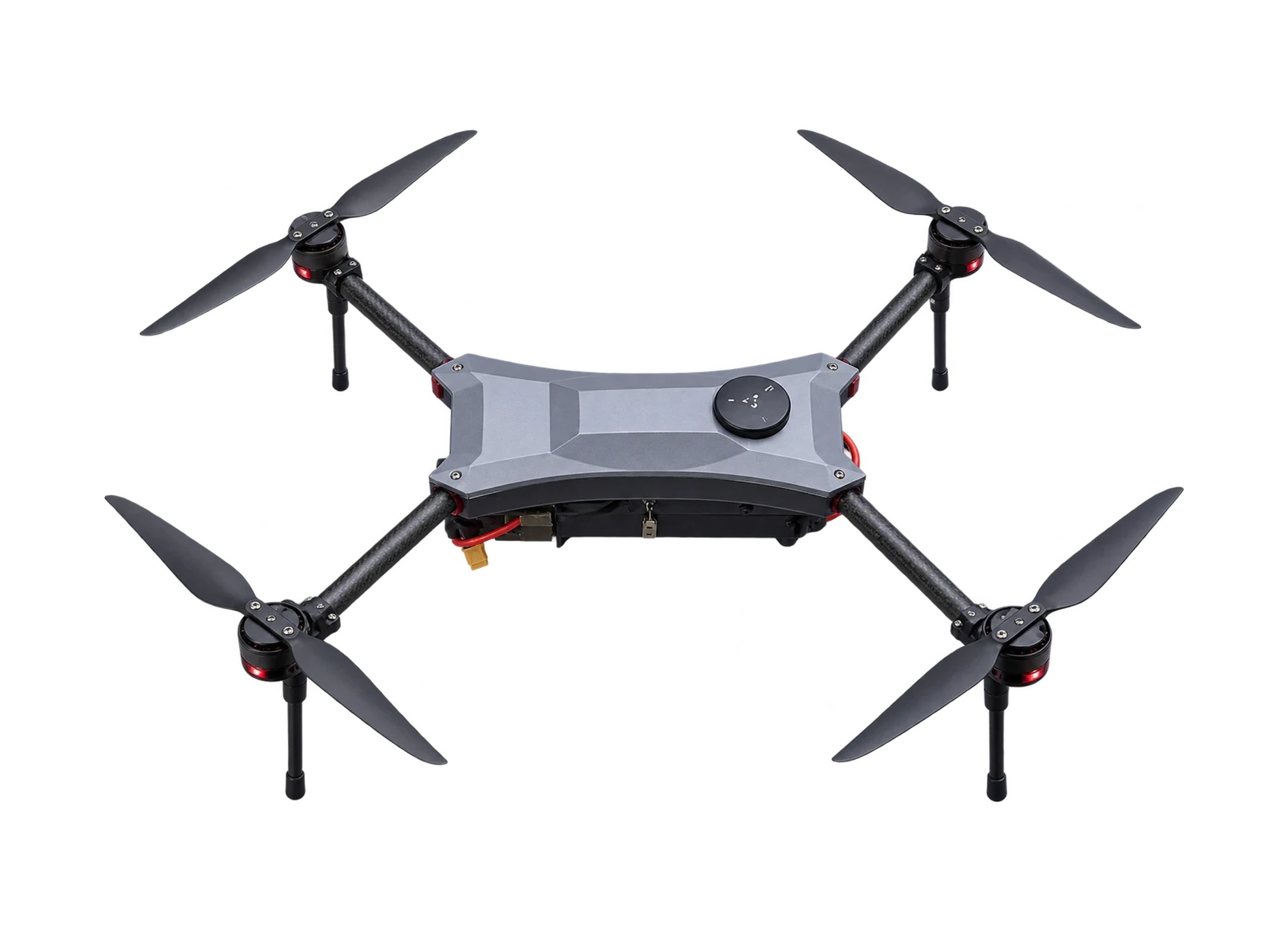
Surveillance
Two ways to see. A compact quadcopter combines optical detail with thermal awareness for inspection, search and observation after dark.
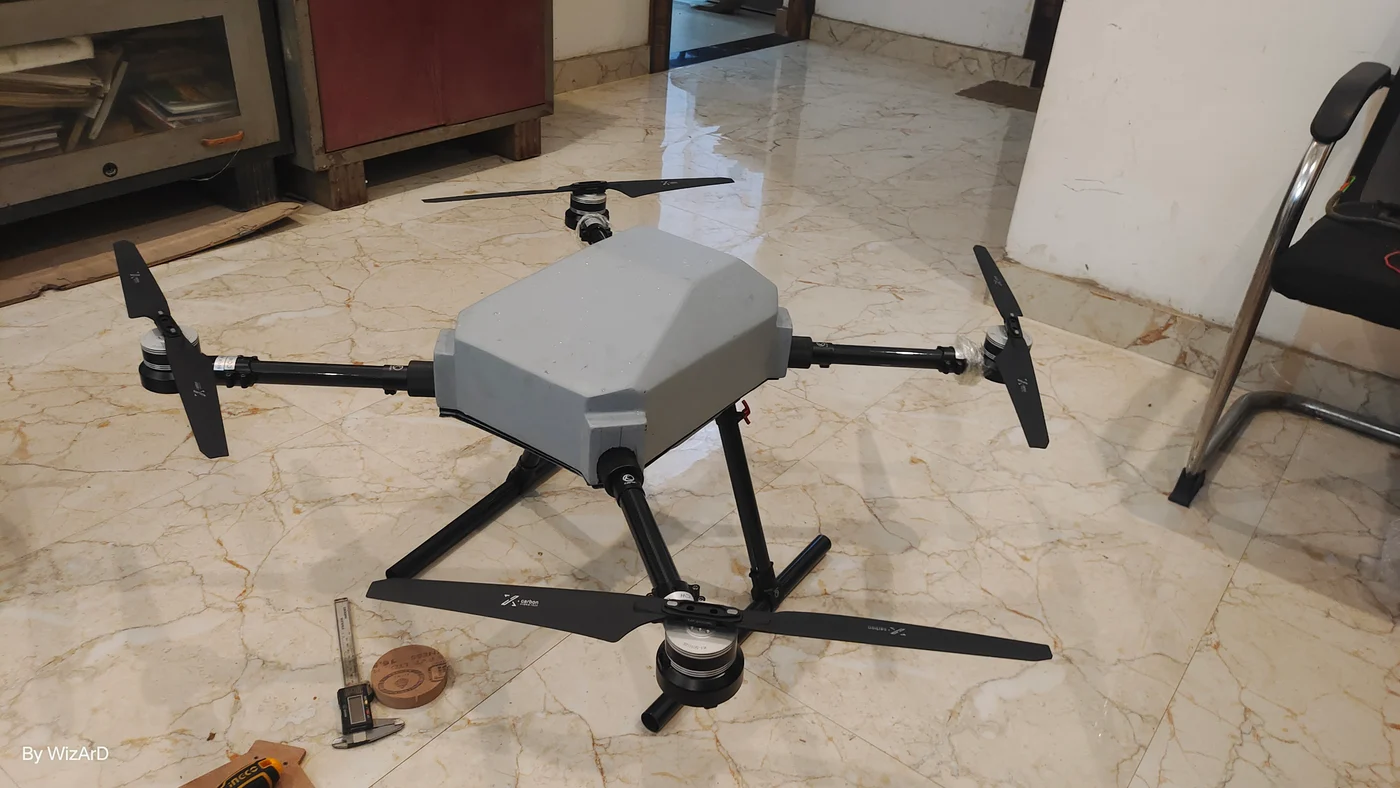
Surveillance
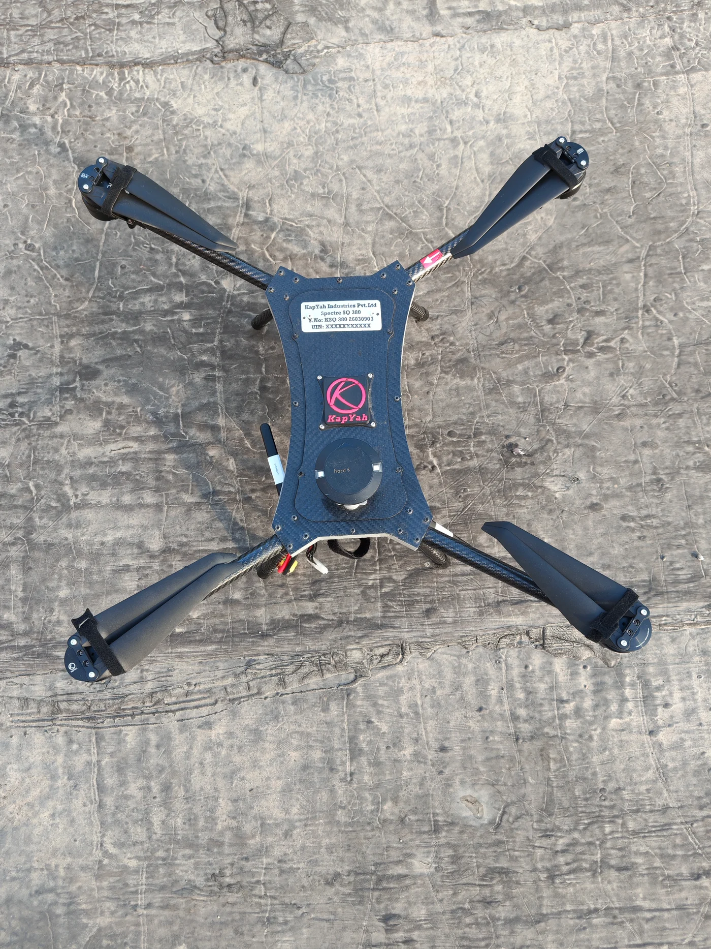
A four-rotor mission platform for configurable observation, inspection and aerial data workflows.
Surveillance
A surveillance quadcopter platform for field observation and configurable sensor integration.
PLAN YOUR NEXT STEP
Share the context with our team so the conversation can focus on the right equipment, workflow and support.
Discuss a survey or mapping project